点击按钮跳转至开发者官方下载地址...
CryoSat is ESAís (European Space Agency) first ice mission. Launched in April 2010, it provides multi-year elevation data at latitudes never reached before by a satellite altimeter. The satellite has sophisticated technologies to determine variations in the thickness of polar sea ice to monitor changes in the vast ice sheets that overlie Greenland and Antarctica.
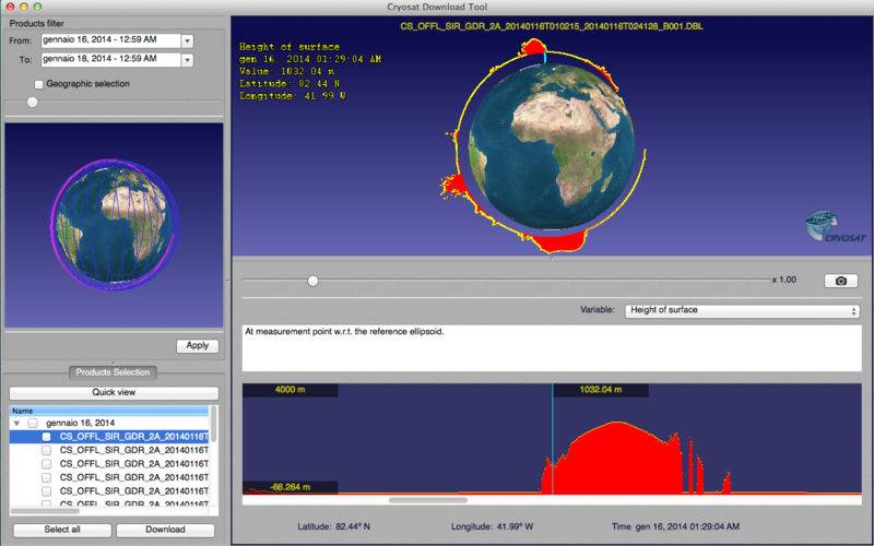
This application is a gateway to visualise and download CryoSat products based on temporal and regional filters. It has an intuitive user friendly graphical interface allowing simultaneous 2D and 3D product visualisation. It is built on the success of the CryoSatApp available for iPhone and iPad offering a remarkable tool for students and scientists engaged in using CryoSat products.


